Before expanding to a new area, targeting a local campaign, or scoping a site survey — you need to know the territory.
I built a UK postcode intelligence tool using the free postcodes.io API. Drop in any list of postcodes and it returns: region, local authority, parliamentary constituency, country, and lat/long coordinates — in seconds.
No API key. No cost. Just the postcode.
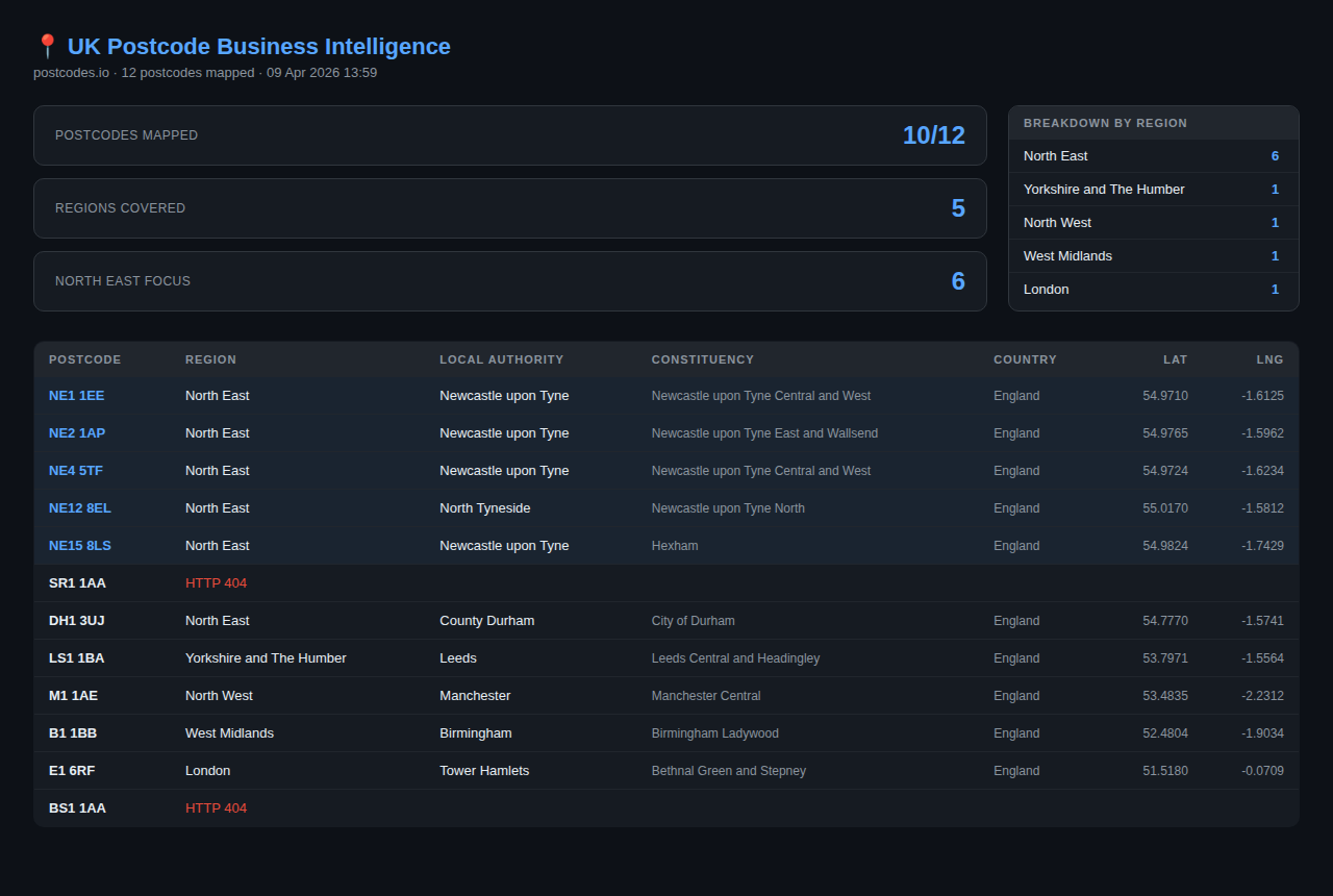
Mapped 12 postcodes across the UK in one run:
→ North East postcodes highlighted (Newcastle, Sunderland, Durham)
→ Region breakdown summary
→ Full geographic data table
Use cases:
→ Pre-survey area mapping before a site visit
→ Bulk enrichment of a customer database
→ Field sales territory planning
→ Local government or community data work
Built in Python. Report exports to HTML. The whole script is under 60 lines.
Interested in this project?
I'm always happy to talk through how it was built, the problems it solves, or how something similar could work for you.